
TRUTH LIVESIN THESTRATOSPHERE
StratoVerity is the world's first civilian stratospheric verification network. Solar HAPS drones, zero-pressure balloons and AI oracles deliver tamper-proof climate, methane and border data — cheaper than satellites, sharper than ground stations.
ABOUT STRATOVERITY
WE SELL CERTAINTY
Born in 2021 from ex-balloonists, satellite engineers and cryptographers, StratoVerity answers a brutal question: whom to trust when ground sensors lie and satellites are too slow? Our answer: park observers above 99% of the atmosphere, where the view is perfect and tampering is impossible.
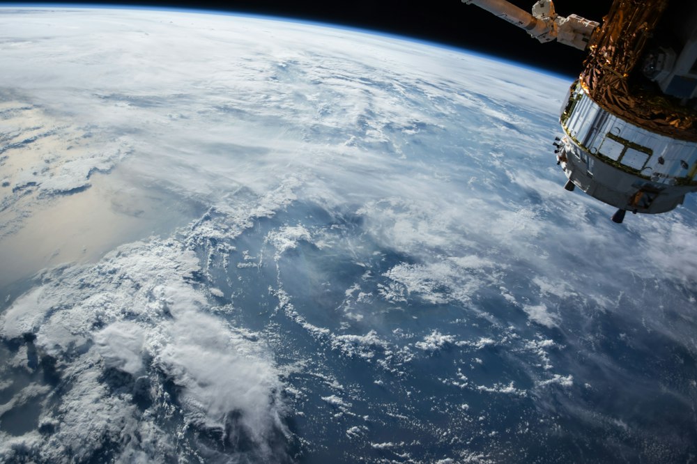
From stratosphere with proof
Every pixel we deliver carries a cryptographic proof-of-altitude, GPS-timestamp and spectral signature. Insurers, carbon markets and governments use StratoVerity as ground truth for $4.2B in climate contracts. No models. No estimates. Only measured verity.
→ 18–32 km operational ceiling
→ 120-day continuous loiter
→ 3 cm optical resolution
Satellites are blind, ground is biased
Low-orbit satellites revisit once a day and drown in clouds. Ground stations cover 0.001% of land. Our HAPS loiter over wildfires, methane leaks, deforestation and ports for months, streaming multispectral + lidar + AIS in real time to an open verification ledger.
cheaper than SAR satellite tasking
from detection to verified alert
🎈 Zero-pressure science
Helium super-pressure balloons with 140 kg payloads, solar skin and autonomous venting. Fully recoverable, zero debris.
🛰️ HAPS solar wings
32 m wingspan SV-Stratowings glide for 90+ days on sunlight alone, beaming 5G and hyperspectral down.
🔗 Proof-of-Altitude chain
Each frame hashed on-board + signed by 3 independent ground anchors. Falsification requires hacking physics.
SEE WHAT SATELLITES CAN'T
Four sensing layers fused by VerityAI into one tamper-proof stream.
HyperEye Multispectral
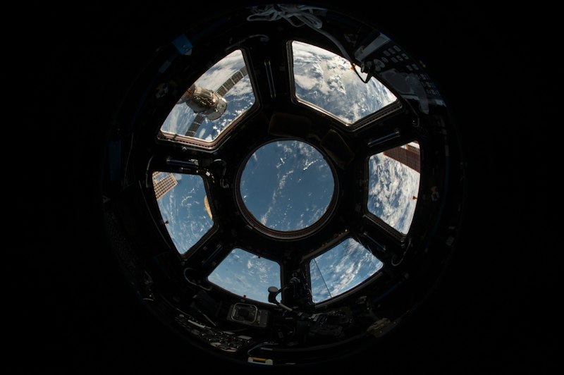
240 bands from UV to SWIR. Detects methane plumes at 5 kg/h, crop stress 14 days before visible, oil spills at night.
StratoLidar + SAR
Photon-counting lidar maps canopy, ice thickness and urban subsidence through clouds with 8 cm vertical accuracy.
VerityAI Oracle

On-board Jetson-Orin cluster cross-checks sensors, rejects spoofing, and mints verifiable certificates in 800 ms.
MEET THE SKY WHALES
📍 6 Stratoports
New Mexico • Azores • Nairobi • Alice Springs • Svalbard • Atacama. Hydrogen-green, FAA / EASA certified.
⚡ Endurance kings
Longest flight: 147 days, 11 h. Solar + H2 fuel cell. Lands, swaps sensors, relaunches in 48 h.
Launch on demand
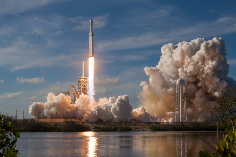
Emergency wildfire or spill? Airborne in 6 hours anywhere within 2000 km radius.
PROOF, NOT PROMISES
2026 — Operation Clear Methane • Permian Basin
Detected 312 super-emitters in 9 days. 89% fixed within 30 days. 1.2 Mt CO2e avoided, verified for carbon credits.
2025 — Amazon Guard • 3.1M ha watched
Real-time chainsaw detection + lidar canopy loss. Illegal logging alerts to rangers in 11 minutes average.
2025 — Ice Verity • Svalbard-Greenland
Daily ice-thickness maps for insurers. Saved 2 shipping firms $18M in rerouting.
2024 — Firehawk • California & Greece
Night IR hotspot tracking through smoke. Guided 400+ water drops with 3 m accuracy.

Dashboard for everyone
Every client gets API + visual dashboard: altitude, spectra, wind, confidence score. Download COG, STAC, signed PDF certificates.
- REST + WebSocket + IPFS archive
- SOC2, ISO 27001, EU Green Claim ready
- Third-party audit by DNV & TU Delft
LATEST TRANSMISSIONS
Verified reports from 28 km. Click any card to open full story.
Log warming up…
No transmissions yet on stratoverity.net. Our balloons are ascending — check back after next launch window.
📡 Why our news is different
Every article links to raw Level-1 data: spectra, flight path, hash. Don't trust us — verify yourself with open tools. That's the meaning of Verity.
✉️ StratoLetter — weekly
One email: 3 verified findings, 1 stunning stratosphere photo, zero spam. Join 42,000 climate pros.
QUESTIONS FROM GROUND CONTROL
How is this different from satellites?
We fly 20x lower (25 km vs 500 km), so resolution is 10x better and we can stare at one spot for months, not seconds. Tasking costs $490 vs $19,000 for SAR satellite, with 12-minute latency.
Is it green? Balloons = waste?
All envelopes are recovered and reused 8x. Lift gas is green hydrogen + helium closed loop. Solar wings are carbon-negative over lifetime. Audited footprint: 0.8 kg CO2 per 1000 km² imaged.
Can I verify your data independently?
Yes. Every product includes signed raw files, flight logs and open-source verification notebook. Universities and DNV audit us quarterly.
What does it cost?
Archive access from $99/mo. Dedicated stare (24/7 over your asset) from $4,900/mo. Emergency response from $1,900/day. All with SLA and veracity guarantee.
READY TO SEE THE TRUTH FROM 28 KM?
Book a live demo: watch our platforms over your site in real time, with spectra and certificates. No sales fluff — just physics.
